European
Strategic Antimony Assets in Slovakia
Unlocking Value from Three Historical Sites
Investing in antimony assets in Slovakia is a strategic move that leverages the country’s rich mineral resources and stable economic environment. Our three historical assets in Slovakia present a unique opportunity to capitalize on the growing demand for antimony, a critical mineral essential for various industrial and military applications. Slovakia’s robust mining infrastructure, coupled with our expertise in resource management, ensures efficient extraction and processing. These assets not only provide a steady supply of high-quality antimony but also position us advantageously in the global market. Discover the potential and strategic benefits of our antimony operations in Slovakia.
PEZINOK, SLOVAKIA
Trojarova
Status: Advanced Exploration - Historical Resource (Russian System)
Western Slovakia, near its capital city, Bratislava and immediately northeast, on trend and the likely continuation of the historical Pezinok antimony-gold mine, one of Europe’s most significant antimony past-producers with a history going back over 200 years (closed in 1991 due to the fall of the USSR, the exclusive buyer of antimony from Pezinok, not the depletion of reserves)
Ownership: 100% subject to a 1%NSR (buy-back at any time for CDN$162,800 until 2027 and then CDN$285,000 anytime thereafter)
Trojarova
HISTORY
Historical Significance: The Carpathian mountains of Slovakia host a variety of metallic and industrial mineral deposits and have been a significant producer since the Middle Ages.
- 1950s: Initial discovery while exploring for pyrite (for sulfuric acid)
- 1970s: Soil geochemical surveys delineated antimony anomaly 2.6 km long
- 1980s: First drilling and initial resource estimation work
- 1986-1995: Completion of 63 core holes (14,300 meters) and 1.7km of underground development including detailed geological mapping and over 350 samples, preparation of numerous reports including resource estimation (Historical Russian System)
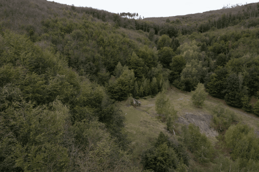
- Deposit: Trojarova is a fairly typical hydrothermal antimony-gold deposit, one of many Hercynian/Variscan age deposits found across Europe and the Appalachians in North America.
- Structure: Similar to the adjacent historical Pezinok past-producing antimony-gold mine, Trojarova is likely hosted in the same shear structure within a series of black shale-graphitic schist and enclosing actinolitic schist.
- Mineralization: At a cut-off grade of 1.0% antimony, Trojarova hosts 2.46 million tonnes averaging 2.47% antimony and 0.635 grams per tonne gold in a mineralized zone averaging 3.32 meters wide. A Qualified Person has not done sufficient work to classify this as current mineral resources or mineral reserves. The Company is not treating this historical estimate as current mineral resources or mineral reserves.
- Classification: The historical resource was classified as “P1” in the Slovak version of the Russian classification system”, a classification that in the western system can vary from “Exploration Results” to “Inferred Resource” depending upon the quantity and quality of the work completed.
- Moving Forward: All historical drill logs and related data are being translated into English and all drill collars, maps and sections are being digitized and georeferenced in preparation for independent evaluation, confirmation drilling, and preparation of an updated, compliant mineral resource estimate.
- Exploration: Historical work by the former Czechoslovak state during the late Soviet era started in the mid-1980s, completing 63 core holes totaling 14,300 meters and developing 1.7 kilometers of underground workings in 1991.
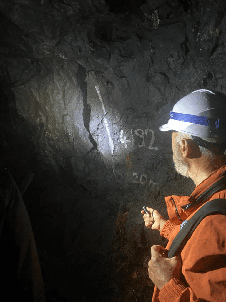
- Mapping: The underground workings were geologically mapped at a 1:200 scale, with over 350 samples collected.
- Reports: Several detailed reports including drill logs and analyses, cross sections, petrographic studies and more, culminated in a multi-volume compendium including a resource estimate (historical), completed in 1991, with a second compendium including detailed underground maps and additional studies, completed in 1995.
- Plans: The immediate goal is to complete all work necessary to classify mineralization at Trojarova in a compliant Mineral Resource Estimate, then advance the project accordingly
- Release: For more information, refer to the Company’s news release dated November 25, 2024: Military Metals News Release.
Kosice, Slovakia
Tienesgrund
Status: early-stage exploration
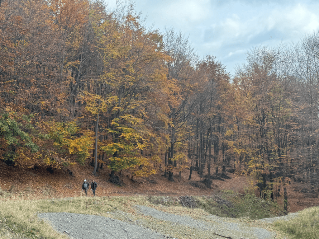
- Location: Near Roznava, a historic mining town in eastern Slovakia.
- Historical Mining: Considerable small-scale underground mining going back two centuries or more
- Recent History: Limited surface work including prospecting and a Lidar survey
- License: Tiennesgrund is a large license spanning over 10 km in length and covering 13 sq km (1,300 ha).
*Satellite image showing prospects identified by Molten Metals the previous owner of Tiennesgrund.
Tienesgrund
- System: The property contains an east-west trending, structurally hosted, poorly explored antimony-gold system.
- Workings: Over twenty historical underground workings are distributed across the length of the license, with some recording limited historical production dating back more than 150 years.
- Prospecting: Limited prospecting work has been conducted by Molten Metals. More information.
- Intrusive: Historical mapping and drilling have identified a large intrusive at shallow depth, potentially explaining the antimony-gold and tungsten mineralization documented on the property.
- Potential: Based on the extent of historical workings documented by Slovak geologists during the Soviet era, Management believes the property holds significant exploration potential.
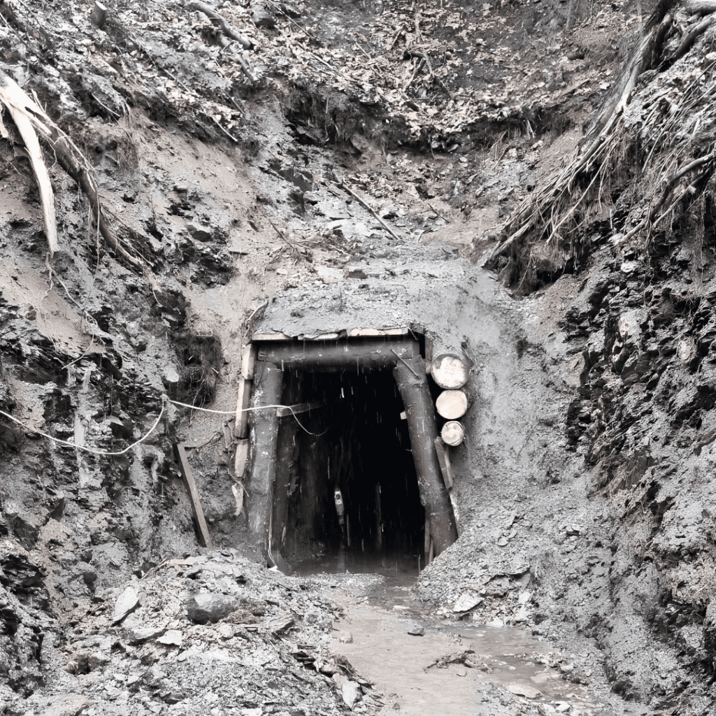
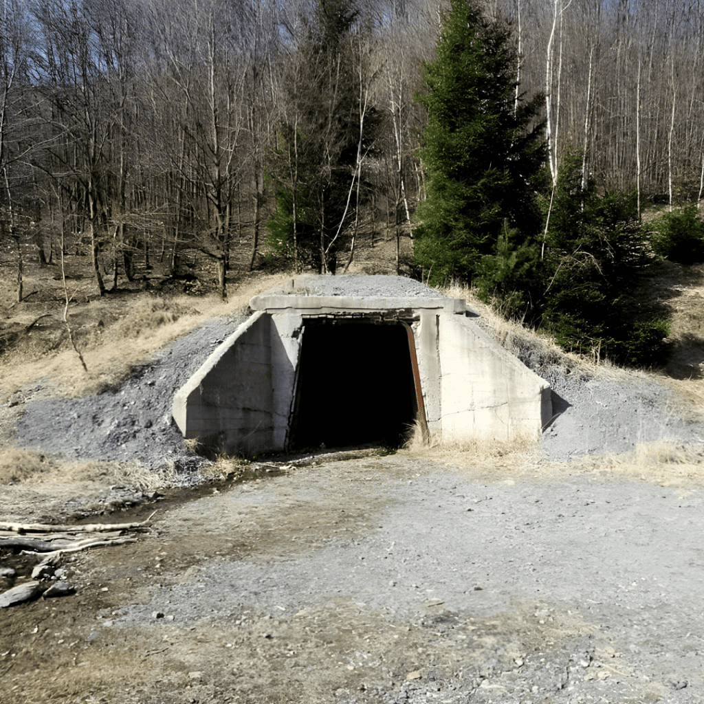
Adits and portal dating from the 1840.
Hnilec, SLOVAKIA
Medvedi Potok
Status: advanced exploration with pending resource validation.
- Location: Just outside the town of Hnilec in eastern Slovakia
- Discovery: Soil geochemical discovery with significant drilling and underground development conducted between 1971-1981 by the state-owned enterprise during the Soviet era.
- Workings: A total of 36 trenches, 47 surface drill holes, 82 underground drill holes, and 5.3 km of underground workings on two levels were completed.
- Geological Setting: Typical greisenend intrusive system hosting tin in veins and greisened granite
- Reports: Numerous reports, including resource estimation studies, were prepared, with the final study completed in 1982.
- Classification: The “C2” category is equivalent to "Inferred Resources" under the Western classification system, as defined by the Canadian Institute of Mining, Metallurgy and Petroleum (CIM). More information.
- Mineralization: Historical resource estimate completed in 1982 included both vein-type and greisen-hosted tin mineralization
- Estimate: 858,394 tonnes averaging 0.198% tin (cut-off unknown). A Qualified Person has not done sufficient work to classify this as current mineral resources or mineral reserves. The Company is not treating this historical estimate as current mineral resources or mineral reserves.
- Moving Forward: All historical drill logs and related data are being translated into English and all drill collars, maps and sections are being digitized and georeferenced in preparation for independent evaluation, confirmation drilling, and preparation of an updated, compliant mineral resource estimate.
